

Joseph Clarke examines military reliance on space, situational awareness, secure information exchange and resilient command systems.
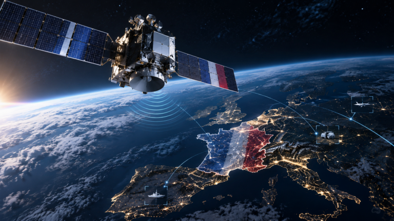
Space has become inseparable from military operations on Earth. Communications, navigation, intelligence, surveillance and reconnaissance all depend on orbital infrastructure, making the ability to understand what is happening above the atmosphere an increasingly important element of defence.
The challenge is scale. Operators must distinguish operational spacecraft from inactive satellites, rocket bodies and debris while monitoring manoeuvres, potential conjunctions and behaviour that could indicate a changing threat.
Building the orbital picture
Israel Aerospace Industries illustrates how terrestrial sensing infrastructure can contribute directly to awareness in orbit. Its ELTA Space Guard system is designed for space surveillance and tracking, including autonomous detection, surveillance, tracking and cataloguing of space objects. It can support monitoring of satellites, manoeuvres, breakups and potential collisions while interfacing with customer databases, command systems and other space sensors.
IAI also positions its TERRA radar system as having a secondary space surveillance role alongside its primary air and missile defence functions. TERRA combines UHF and S band radar and can support satellite and space debris monitoring.
The analytical significance is that space awareness does not necessarily begin with a dedicated satellite. Ground based radar remains an important part of establishing where objects are and how their orbits are changing. The greater challenge is turning multiple observations into a coherent picture.
Seeing the spacecraft itself
HEO addresses that second problem through non Earth imaging, using sensors aboard spacecraft to capture resolved imagery of other objects in orbit. Its HEO Inspect 3.0 platform allows customers to search existing imagery, assess imaging opportunities, task its distributed in orbit sensor network and analyse resulting information.
This provides a different layer of awareness from conventional orbital tracking. HEO’s analysis can support identification and characterisation, attitude estimation, tumble rate assessment, three dimensional modelling and measurement of space objects. For defence and intelligence users, imagery can therefore help answer questions about what a spacecraft physically looks like and how its configuration or behaviour may have changed.
The distinction is important. HEO itself differentiates non Earth imaging from SSA, describing imagery as information that contributes to the broader situational awareness picture rather than replacing it.
This is how orbital awareness is likely to become more sophisticated. Radar and other tracking sensors can establish that an object has manoeuvred. Resolved imagery may provide additional information about its attitude, configuration or condition. Historical observations can then help operators establish whether that behaviour is unusual.